After spending Christmas off the trail, it was time to finally start hiking the South Island of New Zealand.
If you missed it, here’s the last post as well as all the previous blogs from the trail.
VIDEO
We reach the South Island at last for some beautiful views, but first, Christmas with old friends!
DAY 51 – Zero Day
Having finished the North Island the day before, Tom and I were ready to celebrate. We met up with my mate, Kane, to embark on a pub crawl across Wellington. Kane is an avid hiker; he and I had hiked Tapuae-o-Uenuku (Mt. Tappy) together in February.

So the three of us set off to tackle what is called the 12 Pubs of Christmas. We attempted to drink a pint of beer at 12 different pubs in Wellington. Tom left us after number five and another friend, Dave, joined in and took his place. By pub ten I switched from beer to water and we called it a night! It was a good effort and I had fun hanging with my Kiwi mates.

DAY 52 – Christmas Eve
I bid Tom and Wellington adieu and hopped a plane to Blenheim on the South Island. Most hikers take the car ferry across from Wellington to Picton but I’d done that crossing before. Besides, I used to live in Blenheim and wanted to spend Christmas there with my old mates.
And so I skipped the three hour ferry across the Cook Strait and traded it for a twenty minute flight. It was a beautiful day and I could just barely see Tapue-o-Uenuku sticking out above all the other mountains; it’s the tallest mountain in New Zealand outside the Southern Alps Range.

Blenheim is the heart of wine country in New Zealand. It’s located in the Marlborough region, best known for its Sauvignon blanc wines. My mate, Brad, picked me up from the airport and we had lunch and some wines at my old job, Cloudy Bay Vineyards. It was the perfect way to relax and see some old coworkers.

I had Christmas Eve dinner with Brad and his roommates. Their dog just had puppies so there were six dachshund puppies sleeping with mum! I also did some chores, waterproofing my tent seams with a sealant I bought in Wellington and doing some extensive laundry.

DAY 53 – Christmas Day
Being summer in New Zealand, it didn’t really feel like Christmas. I indulged in Brad’s holiday tradition of croissants, cherries, and sparkling wine for breakfast.
The sun was out and I headed off to my friend Joyce’s house. She worked with me at Cloudy Bay Vineyards and was now manager. Being Christmas, she had the day off so it was a perfect time to spend the holiday together, exactly as we did a year ago!

We had a platter of fruits and cheeses and of course wine. It was great catching up. We went for a walk along the river and enjoyed the weather. Then we headed to the beach at Cloudy Bay and went to the secret glow worm cave. It was great being back in Blenheim.


DAY 54 – Picton to Miners Camp
Brad drove me to the grocery store where I resupplied my food cache before heading off to Picton. Tom had taken the ferry over after some down time in Wellington. He’d opted to be a hermit and spend Christmas alone at his hotel rather than come to Blenheim with me. I said goodbye to Brad as he dropped me off at the wharf in Picton.

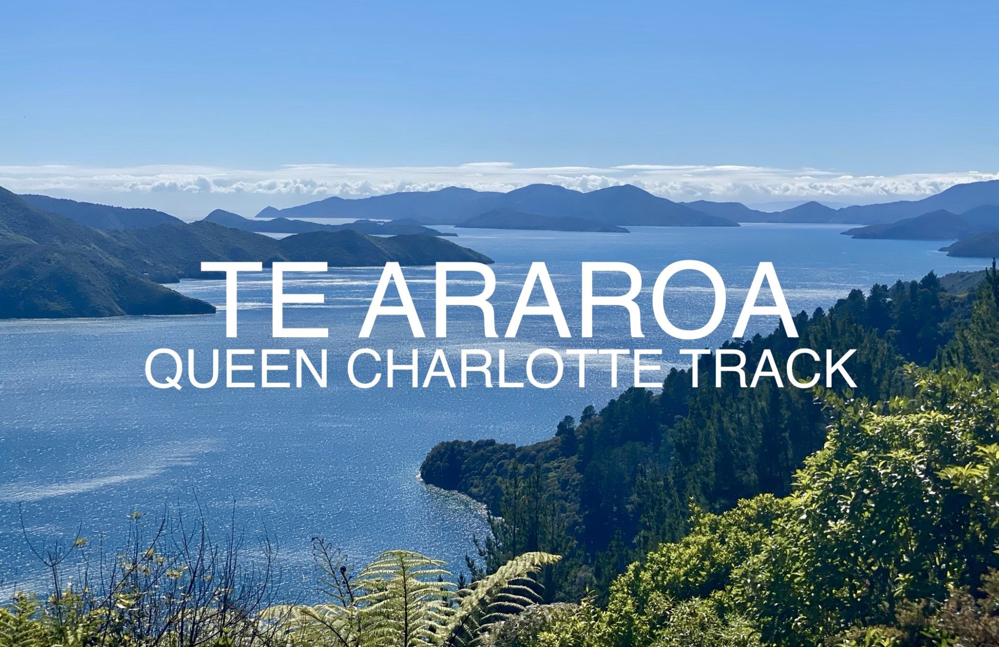
Reunited in Picton with my hiking mate, Tom and I boarded a water taxi bound for the Marlborough Sounds. It’s a beautiful seaside region of the South Island and a popular tourist destination. The water taxi took us out into the sounds and dropped us off where the Te Araroa starts on the South Island at Ship Cove.
It was a gorgeous day and we enjoyed the two-hour boat trip through the sounds. The water taxi doubled as the mail carrier so we stopped at several seaside homes to deliver their mail. These homes were extremely remote, being only accessible by boat.

At last we were let off at Ship Cove where the Queen Charlotte Track begins. This track is the first section of the Te Araroa on the South Island.

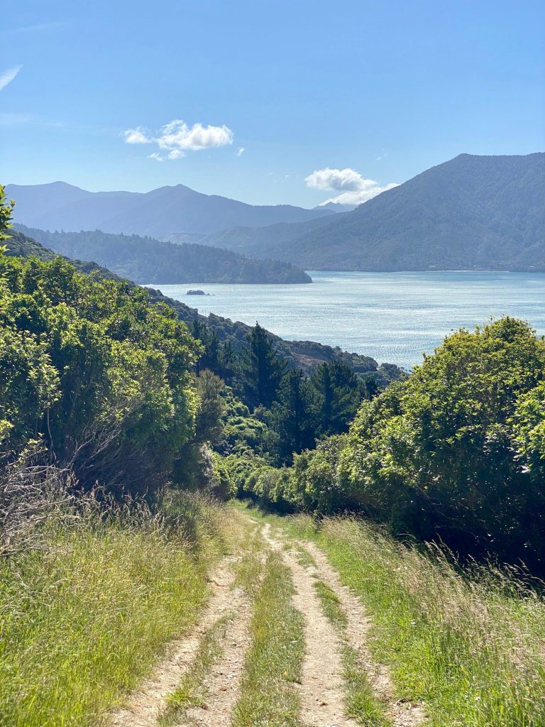
It was an easy, well-graded track that wound its way through the woods along the edge of the sounds with stunning views of the water.

We didn’t start hiking until 4pm so we didn’t get too far. We made great time with the easy track and arrived at Miners Camp. For the South Island, so far so good!

The sand flies began attacking us as we pitched our tents. I put on my pants and long sleeve to keep mostly covered as I ate a dehydrated beef curry meal. Curious wekas came to investigate and scavenge/beg for food. A weka is a flightless bird native to New Zealand. It looks almost like a brown chicken and they will steal your belongings and get into your tent if you’re not careful.

As I lay in my tent writing my journal, I thought about how lucky I am to have made so many great friends in New Zealand. My days off in Wellington and Blenheim were so amazing, getting to see my old mates and they were all so generous hosting me and helping me out any way they could with my hike. And then of course all the holiday greetings I’d received from friends and family back home and readers of my blog. Though unconventional, it had been a great Christmas and I felt so grateful for everything I have.

I also thought how bittersweet that this hike is my New Zealand swan song. Once the hike is finished I will return home to the United States after 1.5 years abroad. I’m going to miss all the friends and places that have become to dear to me here. I’ve got to remember to make every moment count!

And then of course, as I was writing, I noticed I was not alone. A weka was standing inside the vestibule of my tent watching me. It scurried off before I could take a picture. Did I mention that these birds have a high-pitched shriek which is extremely loud. I’m glad I have ear plugs.
Day’s Distance: 18km (11.2mi)
Total Distance: 1,713km (1,064.6mi)
Distance Remaining: 1,287km (799.9mi)
DAY 55 – Miners Camp to Davies Bay Campsite
By the time I packed up and was ready to hike, Tom was still asleep. I woke him up; he didn’t realize it was already 7am. He’d planned for us to hike nearly 50km but it didn’t seem like this was a good start.
The day was gorgeous as I hiked up onto the ridge line. There were beautiful wooded sections that opened up to panoramic views of the Marlborough Sounds. The Queen Charlotte Track reminded me very much of the Abel Tasman Coastal Walk I’d done a year prior.

Tom soon caught up to me and we hiked along in the shade of the bush. There weren’t any strenuous climbs. It was very pleasant hiking with fantastic views.

We stopped a few times to eat our lunch wraps. There were benches and picnic tables every now and then, mostly at view points.

Sometimes the track would face out towards the Cook Strait and sometimes inland. Since we were along a ridge, we sometimes would look off to the north and other times the south. It was a bit disorienting being surrounded by the sea on three sides.

At one point I could see the Richmond Ranges off in the distance. We would be tackling these mountains, some of the highest on the TA, in a few days. I could see Mount Richmond on the horizon, one of my favorite mountains I’d climbed back when I lived in Blenheim.

It was such a clear day, I was surprised how far I could see. There were mountains everywhere on the horizon. And then I spied Tapuae-o-Uenuku, still with snow on top, way off in the distance.

The day continued with a few steep climbs in the hot sun. But overall it was easy terrain on a nice, wide path. We passed other hikers and some bikers. We were obviously hiking much farther than anyone else. It seems most TA walkers take their time and hike nowhere near the amount of kilometers we hike each day.

I moved on ahead of Tom in the late afternoon. He was starting to slow down and his body was sore. We’d had all those days off, hiked a half day yesterday, and then were pushing for almost 50km today! Maybe this wasn’t the best idea to push so hard so soon after our days off.

I was beginning to feel winded as well. The views were still stunning but the long day wore on me. I’m sure I was a little dehydrated from all the sun, too. I plodded on mindlessly as evening approached. My feet were sore but not blistered. My legs just felt tired and I had still four kilometers to go. I wondered how Tom was getting on.

At last I reached Davies Bay Campsite. There were some day hikers’ tents set up on the beach. Not much one for company, especially when tired, I walked to a more secluded patch of beach and pitched my tent.

I was pretty exhausted and had some wraps for dinner along with KitKats and peanut butter and the rest of my potato chips. I watched someone trying to learn to waterski as I ate. They never did successfully get up on the water.

The wekas weren’t as bold but there were a few. It was a quiet night and the water was like glass. Tom never caught up to me and camped on his own farther back somewhere.
Day’s Distance: 49km (30.5mi)
Total Distance: 1,762km (1,095.1mi)
Distance Remaining: 1,238km (769.4mi)

Shop Te Araroa Merchandise
From apparel to prints, grab some awesome trail merch at the A Stray Life Shop!
To follow along with my adventures, sign up via email below or like/follow on Facebook, Instagram, and YouTube:


Leave a Reply